500 years ago, an Ottoman navigator named Piri Reis created a map that continues to challenge modern historical understanding.
This map remarkably includes Antarctica, which had not yet been discovered at the time, and its precision has astounded researchers and historians alike.
How did Piri Reis manage to produce such a detailed map?
And what purpose might have been embedded within its creation?
Exploring the possibilities of lost civilizations and the advanced techniques used to create this map could unveil a past we never knew existed.
What truth does this map reveal?
Was it a mere coincidence, or could it be influenced by the knowledge of ancient civilizations?
Through the mysterious Piri Reis map, we may uncover discoveries that challenge our perception of history.
- The Piri Reis map features Antarctica, which was not supposed to be discovered at the time.
- The map exhibits extraordinary precision for something created 500 years ago.
- It raises the possibility of unknown civilizations or extraterrestrial knowledge playing a role.
- What is the Piri Reis Map? Its History and Background
- The Mystery of Antarctica Depicted: Scientific Perspectives and Urban Legends
- The Piri Reis Map and the Possibility of Lost Civilizations
- Unexplained Cartographic Techniques: Who Created the Map and How?
- Conclusion
What is the Piri Reis Map? Its History and Background
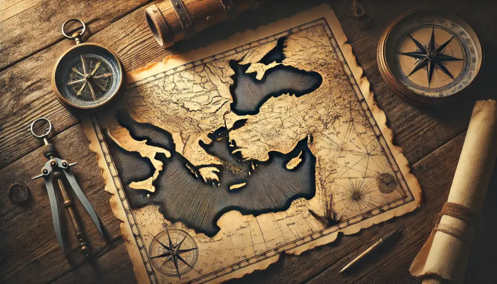
The Piri Reis Map was created in 1513 by Piri Reis, an Ottoman navigator and cartographer.
This map is a fragment of a world map that includes parts of South America, Africa, and Antarctica.
What makes it truly astonishing is the accurate depiction of the Antarctic coastline, which should have been unknown at the time.
Moreover, this map appears to incorporate ancient knowledge and advanced techniques, suggesting its significance goes beyond simple navigation.
The Background of the Piri Reis Map
The Piri Reis Map is said to have been created using multiple ancient maps, but the specifics of these sources remain unclear.
Piri Reis himself noted that he used maps from the time of Alexander the Great and maps collected by Portuguese explorers.
It remains a mystery how these maps reached him, but the Ottoman Empire’s vast intellectual resources likely played a role.
The creation of this map also reflects the scientific and navigational advancements of the Ottoman Empire.
The Origins of Ancient Knowledge in the Map
What were the ancient maps that Piri Reis referred to?
Some speculate they were based on the knowledge of ancient Greek and Roman civilizations.
Others suggest the involvement of seafaring cultures like the Phoenicians or ancient Egyptians.
Such ancient maps could hold clues to a treasure trove of forgotten knowledge.
The Ottoman Empire’s Intellectual Resources and Navigation Techniques
The creation of the Piri Reis Map reflects the wealth of knowledge available in the Ottoman Empire.
Fields like astronomy, mathematics, and cartography flourished, particularly in maritime exploration.
Piri Reis likely utilized these advanced resources to produce his highly accurate map.
However, how he acquired the detailed knowledge of Antarctica remains an enduring mystery.
The Mystery of Antarctica Depicted on the Piri Reis Map
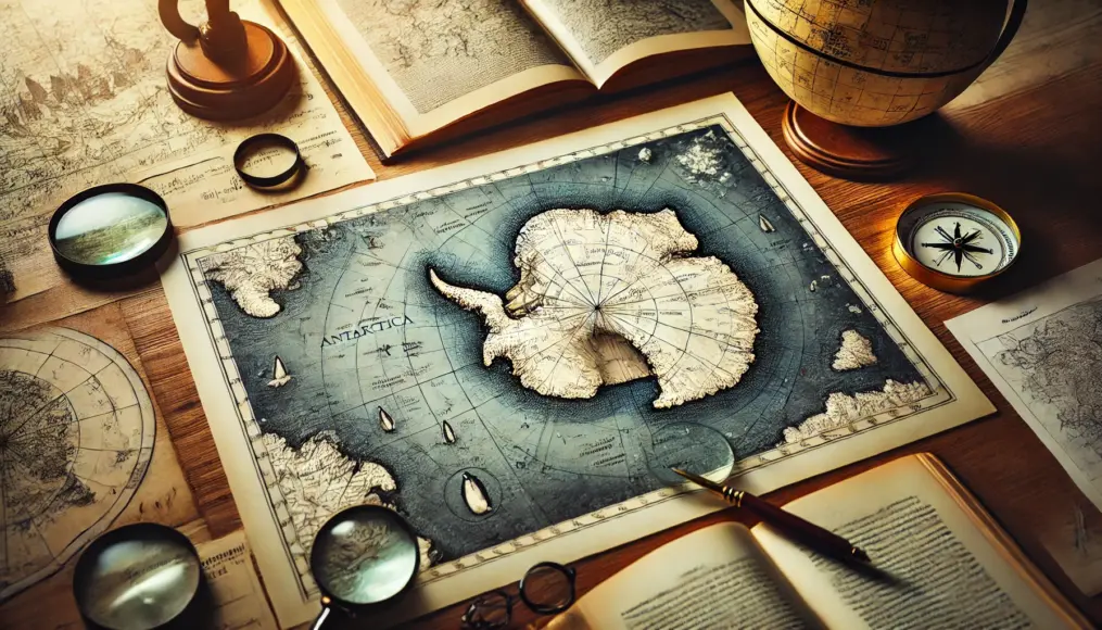
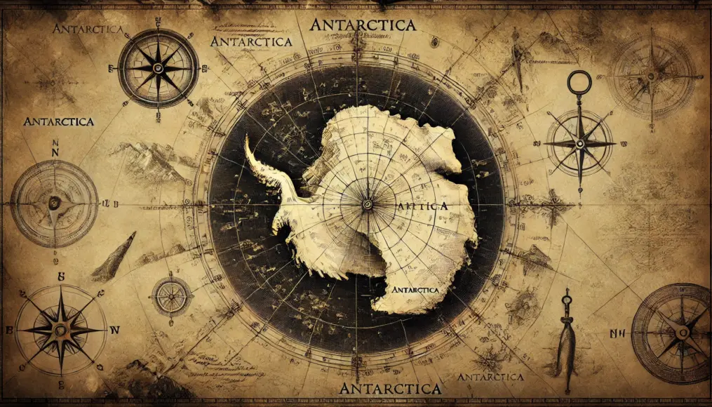
The most intriguing aspect of this map is its inclusion of Antarctica.
Interestingly, modern research suggests the map shows the Antarctic coastline as it was before being covered by ice.
This implies the map incorporates knowledge far beyond the technological capabilities of its time.
It raises profound questions about how such an accurate depiction could have been achieved 500 years ago.
Why Is Antarctica Depicted on the Map?
One theory suggests ancient explorers might have reached Antarctica and recorded its features.
If true, this would require a fundamental rewrite of historical accounts.
Furthermore, if the map reflects Antarctica’s pre-ice geography, what was the source of this information?
Such questions only heighten the map’s enigmatic value.
Connections Between Ancient Maps and Modern Science
Today’s technology allows us to map Antarctica’s subglacial topography accurately.
If the Piri Reis Map achieved this 500 years ago, what techniques could have been used?
Some researchers speculate that the map incorporates knowledge from a lost civilization with advanced technologies.
If true, it suggests that ancient knowledge might surpass modern understanding in certain areas.

The Map’s Implications for Unknown Possibilities
The Piri Reis Map could represent more than a navigational tool.
It may contain traces of ancient civilizations or scientific knowledge yet to be uncovered.
Deciphering the mysteries of this map could not only deepen our understanding of the past but also guide future scientific developments.
Exploring the secrets embedded in this map might reveal new perspectives on history.
The Mystery of Antarctica Depicted: Scientific Perspectives and Urban Legends
One of the greatest mysteries of the Piri Reis Map is its accurate depiction of Antarctica, which was unknown at the time.
The map appears to show Antarctica’s geography before it was covered by ice, as suggested by modern research.
However, the origins of the knowledge or techniques used to create such a precise depiction remain unclear.
Scientists find it too detailed to be a mere coincidence, which has fueled numerous urban legends surrounding its creation.
The Piri Reis Map from a Scientific Perspective
Scientists hypothesize that the map portrays the “pre-glacial terrain” of Antarctica.
According to this theory, the continent had exposed land before it became entirely covered by ice.
Geologists suggest that such a map would require advanced ancient observational techniques that may have been far ahead of their time.
However, the question remains: how did ancient civilizations gather such detailed information?
What Was Antarctica’s Terrain Like Before the Ice?
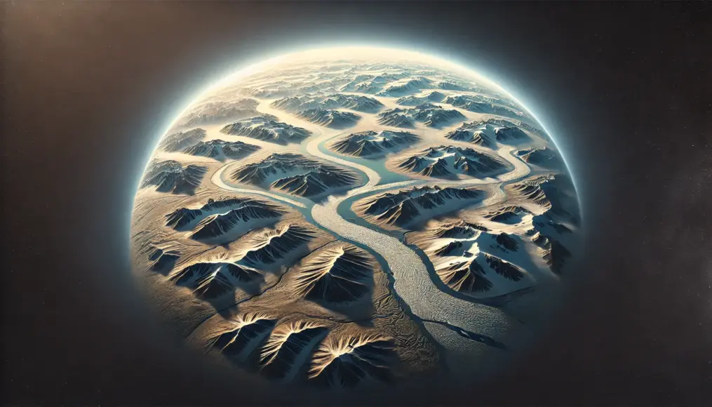
Before being covered by ice, Antarctica likely featured vast plains, mountain ranges, and even river systems.
If the Piri Reis Map indeed shows this terrain, what kind of observational technology could have made it possible?
One intriguing possibility is that ancient civilizations might have observed Earth from above, using methods we cannot yet fully understand.
If this theory holds true, it could unveil an entirely new chapter in human history.
Ancient Observation Techniques and Their Possibilities
The accuracy of Antarctica depicted in the map suggests that ancient civilizations possessed advanced observation methods.
These methods could have been tied to astronomy or navigation, prompting a reevaluation of ancient scientific capabilities.
However, no physical evidence of such technology has been found, leaving this enigma unresolved.
It’s possible that the knowledge held by ancient civilizations was far more advanced than we currently assume.

Urban Legends: The “Lost Knowledge” Behind the Map
Some urban legends suggest that the Piri Reis Map incorporates knowledge from unknown ancient civilizations.
One popular theory involves the Atlantis civilization, which is believed to have contributed to the map’s creation.
If such an advanced civilization existed, it raises questions about how their knowledge was preserved and transmitted.
Although these theories lack scientific backing, they offer an imaginative lens to explore the map’s mysteries.
The Connection Between Atlantis and the Piri Reis Map
If Atlantis existed, its advanced navigation and observation capabilities might have been reflected in the map.
How could such knowledge have survived and later been integrated into the Piri Reis Map?
Furthermore, the process by which this information was passed down to Piri Reis remains a compelling mystery.
Regardless of the truth, these urban legends inspire curiosity and expand our perception of history.
What Is the “Lost Knowledge” Depicted in the Map?
The Piri Reis Map might represent not just the terrain of Antarctica but also the existence of advanced ancient knowledge.
This includes ancient scientific techniques, astronomical understanding, and methods of Earth observation yet to be fully uncovered.
The revelation of such information could challenge long-standing historical theories and reshape our understanding of the past.
Unraveling the true meaning of this map might serve as a bridge between history and the future.
The Piri Reis Map and the Possibility of Lost Civilizations
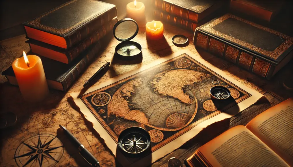
The Piri Reis Map might reveal more than just a navigational tool.
Its accuracy and the details depicted have led some researchers and history enthusiasts to consider the possibility of knowledge from lost civilizations being embedded within the map.
Theories include influences from legendary civilizations like Atlantis, as well as ancient cultures such as the Egyptians and the Maya.
This map could serve as a key to understanding how advanced ancient civilizations might have been.
Connections Between Ancient Civilizations and the Piri Reis Map
The accurate terrain depicted in the Piri Reis Map leads some to believe it conveys knowledge from lost civilizations.
The fact that the map shows the detailed geography of Antarctica suggests that ancient civilizations may have possessed geographical knowledge far beyond what we currently understand.
For example, if Atlantis existed, its navigational and geographical expertise might have influenced the creation of this map.
If such theories hold true, they could unveil a previously unknown side of human history.
Atlantis and the Piri Reis Map
What connection might Atlantis have with the Piri Reis Map?
If Atlantis existed, its people could have had advanced cartographic skills that influenced this map.
Additionally, it raises intriguing questions about how such knowledge might have been preserved and integrated into the Piri Reis Map.
Understanding how lost civilizations contributed to modern mapping would be a significant breakthrough in historical studies.
Influence of Ancient Egypt and the Maya
Some theorize that the Piri Reis Map also reflects knowledge from advanced civilizations like ancient Egypt and the Maya.
Ancient Egypt is renowned for its achievements in astronomy and geography, which could have contributed to the map’s creation.
Similarly, the Maya had unique astronomical observation techniques and architectural expertise, which may have influenced its details.
The idea that these civilizations might have shared knowledge opens up fascinating possibilities for historical connections.
The Map as Evidence of Unknown Technologies
The Piri Reis Map’s accuracy and detailed depictions suggest the existence of lost technologies.
For instance, some theories propose that ancient civilizations might have employed aerial observations to map terrains with incredible precision.
If this is true, it indicates these civilizations possessed scientific advancements beyond what we previously imagined.
This map might hold a glimpse into such advanced technology, offering a fascinating mystery to uncover.
What Were Ancient Earth Observation Techniques?
If ancient civilizations had methods to observe Earth’s geography, what might they have been?
They may have used advanced navigation techniques or astronomical tools to record detailed geographical information.
Some theories even speculate the existence of unknown aerial observation technologies used in ancient times.
Exploring how these technologies influenced the Piri Reis Map could lead to significant rediscoveries in history.

Connections Between Lost Technologies and Modern Science
The technologies reflected in this map might inspire new perspectives in modern science.
For example, current satellite observation techniques could trace their roots to ancient methodologies.
Additionally, if the map’s accurate depictions are validated, it could drive advancements in geography and archaeology.
The Piri Reis Map might hold the key to linking lost technologies with modern scientific innovation.

Unexplained Cartographic Techniques: Who Created the Map and How?
The Piri Reis Map is renowned for its precision and detail, surpassing the scientific capabilities of its time.
There are numerous debates and hypotheses about the techniques and methods used to create this map.
Some suggest that advanced technologies beyond simple observational records of sailors were employed.
Could it have been solely the work of Piri Reis, or is there a deeper story behind its creation?
Possible Techniques Used in Mapmaking
The Piri Reis Map appears to reflect knowledge far beyond simple navigation records.
Its accuracy resembles modern cartographic techniques, which is remarkable for a map created in 1513.
For instance, ancient astronomy or triangulation methods may have been utilized, but even these leave questions unanswered.
This leads to speculation about the involvement of unknown or advanced techniques.
The Role of Astronomy in Ancient Cartography
In ancient civilizations, astronomy played a significant role in mapmaking.
Navigational routes and geographical features were recorded based on celestial observations.
However, this alone cannot explain the detailed depiction of Antarctica’s terrain on the Piri Reis Map.
It raises the question of whether even more advanced techniques were involved in creating this map.
Triangulation and Improved Map Accuracy
The precision of the Piri Reis Map suggests the use of triangulation techniques.
Triangulation, a method for accurately recording terrain, was already utilized in ancient times.
If this technique was applied, it is worth exploring how it was used to depict Antarctica’s geography.
Understanding the origins and applications of such methods could unlock more secrets of historical mapmaking.
Knowledge and Information from Other Sources
Piri Reis reportedly incorporated knowledge and information from multiple external sources when creating his map.
The ancient maps and records he referred to might have contained knowledge that has since been lost to history.
Tracing how these sources reached him and how they influenced his work is a vital area of investigation.
It is possible that the map was shaped by a confluence of various unknown information sources.
Inheritance and Refinement of Ancient Maps
The creation of the Piri Reis Map involved references to multiple older maps.
These maps might have contained knowledge from the era of Alexander the Great or even earlier civilizations.
Exploring how such knowledge was inherited and refined into its current form is an intriguing question.
Decoding this process could lead to the rediscovery of forgotten knowledge.

The Impact of Lost Knowledge on the Map
The extent to which lost knowledge influenced the Piri Reis Map remains an enduring mystery.
This knowledge might have been preserved and shared by ancient sailors and cartographers.
Understanding how it was refined and incorporated into the map is a fascinating topic of exploration.
The map’s precision and detail suggest that the lost knowledge was exceptionally advanced.

Conclusion
The Piri Reis Map captivates us with its accuracy and the mysteries it hints at, suggesting advanced technologies or lost knowledge from ancient civilizations.
The depiction of Antarctica’s terrain raises questions about how such precise information was obtained, possibly pointing to ancient wisdom surpassing modern science.
This map’s potential to reveal unknown truths not only reshapes our understanding of the past but also inspires thoughts about its impact on our future.
What truth does this map truly hold?
What are your thoughts on the mysteries and possibilities suggested by the Piri Reis Map? Share your ideas in the comments below!


Comment